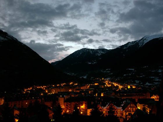
63 - From Bossòst to Vielha
63 - From Bossòst to Vielha
Gps Track
Gps Track
- Start: Bossòst
- Arrival: Vielha
- Total Length: 16,3 km
- Difficulty by Foot: Easy
- Signals: white-red trail marks of the GR 211, and then of the GR 211.1 from the Pònt deth Pas deth Lop – map: guide of the Val d’Aran, Editorial Alpina
- How to back: From the station Barcelona Estaciò Nord, bus transfer to the airport of Girona (tel. 34 935 931300). Flights to Milan, Rome, Alghero and Cagliari. From Barcellona by renfe railways, www.renfe.es.
Hours of walk: 4
Altitude gain: 450 m
Altitude loss: 200 m
Itinerary
After crossing the bridge, the route proceeds on the Carrer Sant Jaume, on the right mountain side. The Calle de la Centrau is to be walked between the steep wood on the mountain’s side and the flat and cultivated valley bottom. After the Pònt de Hèr the walk follows a path on the same side and along the Garonne. At the Pònt deth Pas deth Lop, you follow the left mountain side across the disused bridge of the national road. You walk a short stretch of the N-230 and then turn right on the road going across a rural area and the houses of Era Bordeta. Past the small village the itinerary goes on through the fields, following the GR 211.1 path that leaves the course of the Garonne, crosses a bridge of one of its affluent rivers (the Joeu), and then goes down to the village of Es Bòrdes. You proceeds along the river on the Camin Reiau, still close to the course of the river, passing behind some campsites. After reaching the bridge of Aubèrt, you keep on the same mountain side, walking slightly up to the wood where the valley narrows. At the next Pònt de Beussa, the 2008 walk through Occitan valleys went to the right mountain side, on the route N-230, until Vielha. Nevertheless it is possible to keep to the left side of the mountain, first on a forest path and then among the fields until the village of Gausac. The Carretera de Gausac leads to the old town centre.
Food and accommodation
In Vielha:
Hotel Pirene
Carretera del Tunel s/n, bar and restaurant, garage for bicycles, tel. 34 973 640075, www.hotelpirene.com.
Other options for food and accommodation can be found in Vielha.
Torisme Val d’Aran
tel. 34 973 640688, www.torismearan.org.
Oficina de torisme
Sarriulera 10, Vielha, tel. 34 973 640110. Directions for the return. Coach services (5 rides a day) from Vielha to Barcellona, Coach services Barcelona Nord, tel. 902 260 606, www.barcelonanord.com.
Taxi, Pl. Sant Antoni, s/n, tel. 34 973 640195


