Hours of walk: 8,30
Altitude gain: 1750 m
Altitude loss: 1550 m
Itinerary
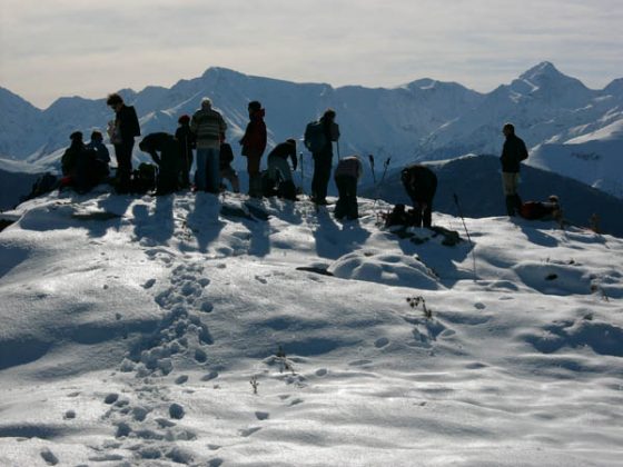
From the Mairie the walk proceeds left towards the south, along a dirt road that goes immediately up to the wood. After reaching the crest, a little saddle is to be followed, where there are the two buildings of Berteille. The itinerary continues south towards the crest and then goes down to Herran, that can be reached with a last stretch of asphalted road. From the village you go up to the church and proceed towards south through a tall beech forest. You reach the Col de la Croix on a steep path and, from here, you walk the long crest of the Cournoudère; a limestone mountain covered by sparse short junipers. You reach the Sommet de Cournoudère (m 1561), with a stunning view over the main crest of the Pyrenees and over the plain facing north. You walk down the crest through the Pas de l’Ane (m 1509) and, when you reach the hill with a marked altitude of 1478 m, you go steeply down to the beech forest until the road hill of Portet d’Aspet. From the hill the route follows a nice path among tall box trees located on the western hillside and heading west, and then it crosses the tall beech forest with a box-tree undergrowth. The walk enters a more marked track. After leaving the marked track of the Tour des Pays des Trois Vallées and taking the right, you proceeds on the trail leading to the hamlet of Escabires, beyond which the road becomes asphalted (D 85c). You carry on following the descent road passing near various hamlets perched on very steep slopes and surrounded by equally steep meadows. Down below Razecueillé there is beautiful parish bell-gabled church. The village is located on the way of the Camino de Santiago de Compostela. The route goes along an asphalted road (D 85, D 818) and it reaches the suburbs of Sengouagnet. At the crossroads the walk keeps to the left on the D 618 until the Col de Buret (m 599). On the hill you keep again to the left, then immediately turn to the right on the road parallel to the busier departmental road, until Juzet-d’Izaut.
Food and accommodation
-In Juzet-d’Izaut:
Auberge du Cagire
In town, on the main road, 3 rooms, meal service, tel. 33 (0)5 61 88 85 25.
Office de Tourisme Canton d’Aspet
Maison des Trois Vallées, Rue Armand Latour, Aspet, tel. 33 (0)5 61 94 86 51, www.tourisme-aspet.com
The website of the Ariège: www.ariege.com.