Hours of walk: 6
Altitude gain: 950 m
Altitude loss: 950 m
Itinerary
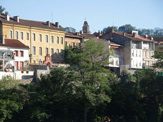
The walk leaves Foix from the northern side of its old town following Rue de l’Espinet, then right to Rue du St-Sauveur, and from there the following path leads to the crest of Mont St-Sauveur and then to the peak of Le Pech (m 717). You pass through some unsigned farming areas, and then continue down to the houses in Lanque, in order to climb up the more visible track of Quère de Cos. The route descends again to then climb up some steep rocks to the Roc de Caralp (739 m), covering all ups and downs of the crest. Rural roads lead down to the intersection with the D 117 at the Col de Bouich (m 598). Part of the D45 is to be walked departing from the hill, going across both St-Martin-de-Caralp and the hamlet of Tresbens. Cultivated fields are left behind to enter chestnut and beech woods and, after bypassing an impluvium, the walk goes on to the bare crest of Montcoustan and then, still on the crest, it goes down to the hamlet of Montredon. After crossing the wide meadow hillock, with roads and tree-lined paths, the scattered hamlets of Alzen (m 704) can be seen. By walking up from Les Paulis, a hamlet of Alzen, the Chapelle de la Ste-Croix can be seen, this was founded in the X century and destroyed during the religious wars. Ruins of Romanesque construction can still be seen (a relief in the sandstone façade and friezes on the inside). The itinerary leads down through the steep wood to the houses of Bardios (m 508), then an asphalted road is to be walked until the valley floor of the Arize, among forage cultivations and fenced pastures with numerous Mérens horses. You cover around 2,5 km of the D15. The Centre National du Mérens is located on the right side of the road. With a last stretch of track through the fields, La Bastide-de-Sérou is reached.
Food and accommodation
In La Bastide-de-Sérou:
Camping L’Arize
Along the stream, at about 2 km before the town on the D15; it offers chalets and bungalows for rental; tel. 33 (0)5 61 65 83 34, www.camping-arize.com.
Hôtel Cent Dix Sept
In town, 7 rooms, meal service and bar, closed on Tuesdays;
tel. 33 (0)5 61 64 50 26