Hours of walk: 4
Altitude gain: 550 m
Altitude loss: 150 m
Itinerary
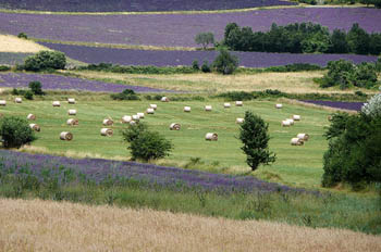
You leave the village on Rue de la Libération to then go along the lake’s northern side and then the hang-gliding track. You walk across the upland on rural paths. After the Camp Bonnaure, the route goes up by forest tracks, through conifer and beech woods. After crossing for the third time the stream Blau, you can walk up to the village of L’Escale. Just before the hamlet there is a junction for the panoramic path «Des Maquis» (yellow-green trail marks), that is quite impervious and leads to a gorge, the Saut de la Bourrique. There is a panoramic view and a cave used as a partisans’ shelter. The path follows along a ridge and it meets the lower track, which comes from l’Escale and keeps on a forest track on the valley floor, near a mountain hut (Poste de Commandement Du Maquis), where a permanent exhibition about the partisans’ activities in the area can be found. The lower route, instead, follows a forest trail on the valley floor. The Sentier Cathare proceeds along easy forest trails and comes out in the extraordinary upland of Sault, fully cultivated with forage and grain, and enclosed for the pasturing cattle. The route passes near the farms of Montplaisir (m 873) and, by proceeding along small roads among the fields, it reaches Espezel.
Food and accommodation
-In Espezel
Hôtel Grau
In town, tel. 33 (0)4 68 20 30 14, meal service, 6 rooms, , www.logis-de-france-aude.com
Other options for food and accommodation can be found in town.
Office de Tourisme du Pays de Sault
Centre Commercial, Belcaire, tel. 33 (0)4 68 20 75 89.