Hours of walk: 5
Altitude gain: 1000 m
Altitude loss: 850 m
Itinerary.
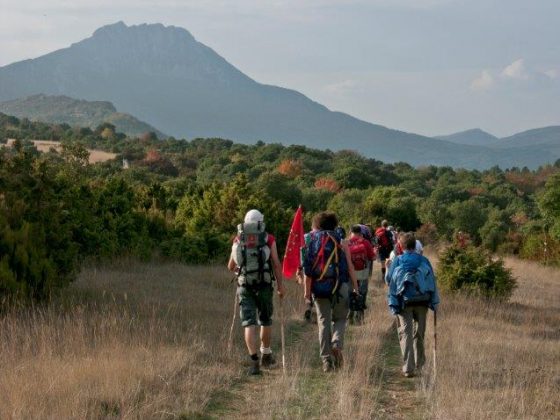
You walk along the Sentier Cathare, which partly corresponds to the he access road to the castle, until the junction at a marked altitude of 500 m where you take the left (on the GR36 Sentier Cathare), walking first on a dirt road and after on a path in Mediterranean vegetation, with picturesque views over pasturelands (Pla de Brézou), alternating with scrub undergrowth. The route goes along asphalted road (D10), to be followed until the Gorges de Galamus. The D7 is to be walked again for 300 m to find a marked trail on the right, leading down to the stream Agly and then going up to a wooded ridge, still in a Mediterranean landscape. Pasturelands (Pla de Lagal) are crossed on the way down, before reaching the tiny village of Camps-sur-l’Agly.
Food and accommodation
-In Camps-sur-l’Agly:
La Ferme de Camps
In town, tel. 33 (0)4 68 69 87 53
Gîte d’étape La Bastide
In a XIII century village, founded by the knights Templars, at about 3 km west of the town, off the route of the GR 36, which is possible to join again at the following stage through the Col de Péchines, at the ruins of Campeau. 6 rooms, accommodating 17 guests, meal service, tel. 33 (0)4 68 69 87 57
Pays touristique Corbières-Minervois
www.tourisme-corbieres-minervois.com