Hours of walk: 7
Altitude gain: 1050 m
Altitude loss: 900 m
Itinerary
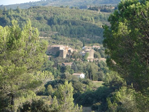
After crossing the Pont Vieux, the track goes up to the crest to the west of the abbey. Following paths and forest tracks in the sparse scrub, you turn southbound among vineyards to St-Pierre-des-Champs. The itinerary goes on southbound, initially on an asphalted road (Chemin des Pins), then on a dirt road, until the Serre de Blanes (m 541), where the eastern panoramic crest is to be walked. From the top of the hill the Cévennes are visible. You then walk down towards Villerouge-Térmenes, among vineyards and lines of cypresses, in a red clay area marked by ravines, the calanques. The GR 36 B goes up towards the west on the Pech Rigaud, and then you walk along a stream among a thick moss covered holm-oak tree forest. The last part of the track is entirely in the Mediterranean forest until the D40 road, that is to be followed until the Col Caroun. From here you follow a dirt road until the Croix de Pierre, and then the route goes down towards Termes; it is possible to see the ruins of the castle from above, in a wild area of Mediterranean scrub and chalky rocks.
Food and accommodation
-In Termes:
La Buverte
Organic coffee, snacks; two rooms for guests; for bookings: 33 (0)4 68 27 42 80, www.labuverte.fr
Other options for accommodation in chambre d’hôtes (B&B) or gîtes ruraux in the village. For bookings: www.gites-de-france-aude.com , tel. 33 (0)4 68 11 40 79. Pays touristique Corbières-Minervois www.tourisme-corbieres-minervois.com .