Hours of walk: 3,30
Rise: 400 m
Drop: 700 m
Itinerary
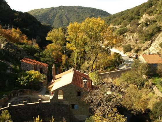
The village is left from the west and the D 147 asphalted road is to be walked for 3.3 km among vineyards, facing the gorges of the stream Briant. At a location with a marked altitude of m 410 the route goes up to the mill of Trédos. The route goes across the river of Rieussec and the path through the Mediterranean scrub is to be followed. After crossing a road (m 516), you take a track that shortly reaches Vélieux (m 476). Here the GR 77 can be found again, and it goes southbound through the Mediterranean scrub and vineyards to face and go down to the gorges of the Briant, through an extraordinary route. After reaching the valley floor, the gorge is to be walked along on its left mountain side, along many ups and downs. The route goes down to the Pont de Daniel (m 201) and then rises on the other side; here there is a view over the gorge and the fortified hamlet of Minerve, standing on a rocky spur in the middle of the gorge, where the Cesse and its affluent Briant merge together. You reach the village along an overhanging route.
Food and accommodation
-In Minerve:
Gîte d’étape communal
In town, tel. 33 (0)4 68 91 22 92.
Various options for food and accommodation can be found in town. For information: Office du tourisme le Minervois, Rue des Martyrs, Minerve, tel. 33 (0)4 68 91 81 43.
