Hours of walk: 4,30
Rise: 650 m
Drop: 850 m
Itinerary
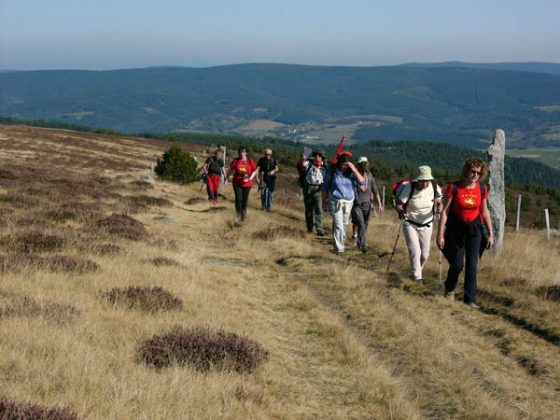
The itinerary rises again to Col Santel (stage 26), where the GR 70, dedicated to the Stevenson walk (see box at the end of the chapter), goes along an ancient sheep-track, the draille (or dralha in Occitan) de Languedoc. The ascent is quite steep, amidst the forest, to then come out in the open spaces, beyond the limit of the arboreal vegetation, at the ski station of Bleymard–Mont Lozère (1416 m). The route continues upwards, following the ridge line, to the Col de Finiels (1635 m). Just before the col, with a short detour, it is possible to climb to the wide ridge of Sommet de Finiels (1699 m), the peak of Mont Lozère. Back to the col, you descend across the forest towards Finiels (1221 m), a rural hamlet with a straw thatched mill above it and another one with a horizontal millwheel in the small village centre. Both mills work with water from millstreams. The route of the GR 70 to Le-Pont-de-Monvert goes on along a complex network of tracks and paths still being mapped (summer 2008), to avoid a part on asphalted road.
Food and accommodation
-In Le-Pont-de-Montvert:
Gîte communal Maison du Mont Lozère
Located above the village. The Gite has a kitchen at the guests’ disposal. Closed in December and January; accommodates 35 guests, tel. 33 (0)4 66 45 80 10.
Restaurant La Truite enchantée
Located on the main road, tel. 33 (0)4 66 45 80 03. Open for dinner from mid-March to the end of October.
Other options for food and accommodation can be found in town.
Office de tourisme des Cévennes au mont Lozère, Le Quai, Le-Pont-de-Montvert, tel. 33 (0)4 66 45 81 94.
