Hours of walk: 6,30
Rise: 550 m
Drop: 650 m
Itinerary
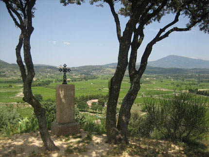
The itinerary sets out again on the GR de Pays – Tour des Dentelles de Montmirail, south of the Haute-Ville, covering a short distance of the previous day’s stage. The walk leads to the west, across vineyards, along the hill side at the feet of Mont Mars (m 449). Just before the chapel of St-Just, you quit the GR de Pays to follow the trail marks of the GR4 leading to the D 977 road. After a short while you leave the D 977 for the D7 up to Roaix (m 167). The itinerary goes along an asphalted road up to Rasteau. The GR 4 goes on towards the north-west, initially on asphalted roads, then across vineyards growing on pebbled grounds, characteristic of this calcareous area, and then through bright oak groves rich in butcher’s brooms (Ruscus aculeatus) and hollies. The asphalted road descends towards Cairanne (188 m) and down into the valley of Aygues. The route continues from the west of the village, across the small villages of La Laune (m 129), passing the Aygues on the bridge of the D 8. It carries on along the right bank of the river, and then on rural roads up to St-Cécile-les-Vignes.
Food and accommodation
-In St-Cécile-les-Vignes:
Restaurant Hotel La Farigoule
In the historical centre: 26, Cours Maurice Trintignant. With 9 rooms, it is closed in March and for 15 days in November.
tel : +33 (0)4 90 30 89 89, www.lafarigoule.net
Office de Tourisme
Route de Cairanne , tel. +33 (0)4 90 30 76 53, www.sainte-cecile.org/fr/