Hours of walk: 3,30
Rise: 600 m
Drop: 400 m
Itinerary:
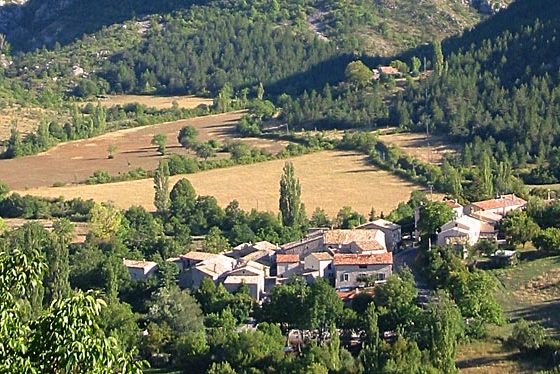
The carriage road D 946 leads to a road which passes beyond the Jabron torrent and then takes you up to circumvents a wooded relief. The walk proceeds along the first cultivations of lavender, a plant which is the symbol of Provence. Along the way are the deserted houses of l’Adret and of Les Chabauds, the cemetery and church of St-Marie de Chateau Neuf, and further on there are rural chapels, testimonials of an historical route, only recently replaced by the easier road down in the valley along the Jabron stream. The GR descends to an asphalted road leading past the torrent Druigne and then into the small village of Lange (711 m). The GR route rises from Lange to bypass the Crête des Blanches de Paillar and it leads to an easy dirt road which follows the bottom of the valley, at the feet of the Crête des Serres, to finally arrive at the small village of Villevieille. The itinerary continues along asphalted roads until Monfroc. The gîte d’êtape (hostel) is located in the small village of Les Anières (m 806), about one kilometre above the regional chief town.
Food and accomodation
A St-Vincent-Sur-Jabron:
Gîte d’étape la ribière
tel. 04 92 62 02 15-51
A Montfroc:
Gîte d’étape Les Ricoux
tel. +33 (0)4 92 62 08 33, les-ricoux@wanadoo.fr, www.lesricoux.com
Le Château de Montfroc chambres d’hôtes,
tel. +33 (0)4 92 62 06 64, www.provence.guideweb.com/chateau/montfroc