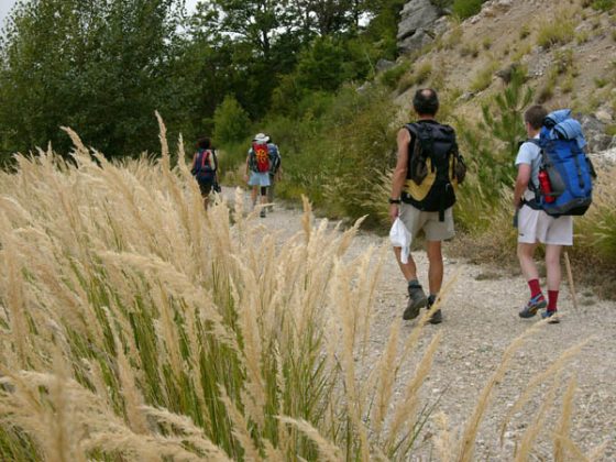
12 - From Sisteron to St. Vincent sur Jabron
12 - From Sisteron to St. Vincent sur Jabron
Gps Track
Gps Track
- Start: Sisteron
- Arrival: St. Vincent sur Jabron
- Total Length: 22,9 km
- Difficulty by Foot: Hard
- Signals: white-red marks of the GR 6 up to La Fontaine, then yellow-red ones of the GR de Pays – Tour de la Montagne de Lure. – map: Sisteron 3339 OT, IGN, France
Hours of walk: 6.30
Rise: 1200 m
Drop: 1050 m
Itinerary:
The Rue Droite leads out of the historical centre of Sisteron, towards the west. The itinerary then goes along Rue de Provence and then Avenue Jean Moulin leading to the Bois du Molard. You follow the botanic path, with its explanatory boards, winding up to the Réfuge du Molard and to an observation post with a panoramic view over the Alps. The route carries on along the scenic crest of both the valley of Durance and that of Jabron, into the oak forest covering the karstic ridge. Glimpses of apple orchards and lavender fields can be seen. The landscape becomes wilder past La Fontaine, with ravines and oak woods. A path along the hillside finally leads to the deserted village of Le Vieux Noyers (m 900). The itinerary carries on along the GR, passing by the charming solitary chapel of St-Claude (920 m), which dates back to 1661 and was rebuilt in 1738. It is named after the archbishop of Briançon and is rather bare, with a single nave, reduced vaulted ceiling and a beautiful recently restored roof in stone lozenges. In was also used as a cattle shed in the past. The chapel is located on a small saddle and, past it, the route descends for roughly a kilometre to join the asphalted road leading to the settlement of scattered houses called St-Martin. Further on, in Boudounet (m 871), the road becomes a dirt track and it is to be followed with some shortcuts. At the crossroad at 1051 metres of altitude, the route turns to the left taking the GR Tour de la Montagne de Lure descending downhill to the village of St-Vincent-sur-Jabron located along the D 946 road.
Food and accommodation
In Sisteron: see chapter 1
In St-Vincent-sur-Jabron:
Gîte d’étape La Ribière
tel. 04 92 62 02 15-51


