Hours of walk: 6
Rise: 1700 m
Drop: 950 m
Itinerary
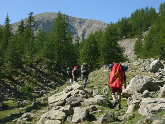
The route goes up on the west of St-Dalmas-le-Selvage, on the mule track along the left side of the mountain touching the deserted mountain huts of the hamlet of Tronciès, wholly built in larch wood. Having reached the asphalted road, near the refuge of Sestrières, you follow it on the left hand side for a short while, to then go up in the larch wood towards the Col de la Braïsse (2599 m).The route proceeds at the same altitude until the Col de Sanguinière (2601 m). The walk descends in the deep valley of Sanguinière, across the beautiful larch wood of the state forest of the Var springs. The track passes near the Cabannes de Sanguinière (2049 m), a forest refuge and gîte d’étape of the park of Mercantour. Having reached the asphalt road , you follow it downward for a kilometre until the altitude of 1911 m, where you take the path on the right to rise along bends up to the Col de la Cayolle (2326 m). The refuge is located on the asphalted road a little below the col and it can be reached through a shortcut across the fields.
Food and accommodation
Ref. de la Cayolle
Tel. 049 2812425 (from mid June to mid September), 049 3055490, gasi@wanadoo.fr