Hours of walk: 3.30
Rise: 250 m
Drop: 1150 m
Itinerary
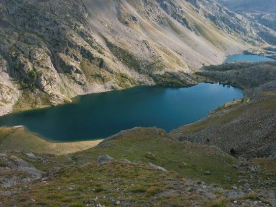
The walk goes on down on the track along the lakes. After the second lake you go up on the right to the Pas des Pêcheurs. You then carry on for a short while along the mountainside to then descend along a winding road to the narrow valley of the Vens torrent. At the floor of the valley you cross the stream and then go along a dirt road until the asphalted road is reached. You walk it keeping the left side up to the crossroad at the St-Dalmas deep valley where you take a path above the crossroad, not easy to find. The walk proceeds through the gorge in a Mediterranean environment, on a little path slightly above the street, up to St-Dalmas-le-Selvage (1476 m).
Food and accommodation
-In St-Dalmas-le-Selvage, in town:
Gîte d’étape Saint Dalmas le Selvage
Tel. 33 (0)4 93024461; anne-marie.issautier@orange.fr
always open, accommodates 24 guests
Albergo e ristorante Maison de l’étoile
Tel.33 (0)4 93024108, maisondeletoile@wanadoo.fr
Tel. 33 (0)4 93024497 (ristorante)
Restaurant le Forest
Tel. 33 (0)4 93024970